Photographers
Aerial Image Surveys
Open today
9:00 am - 5:00 pm
Echuca
VIC, 3564
Aerial Image Surveys
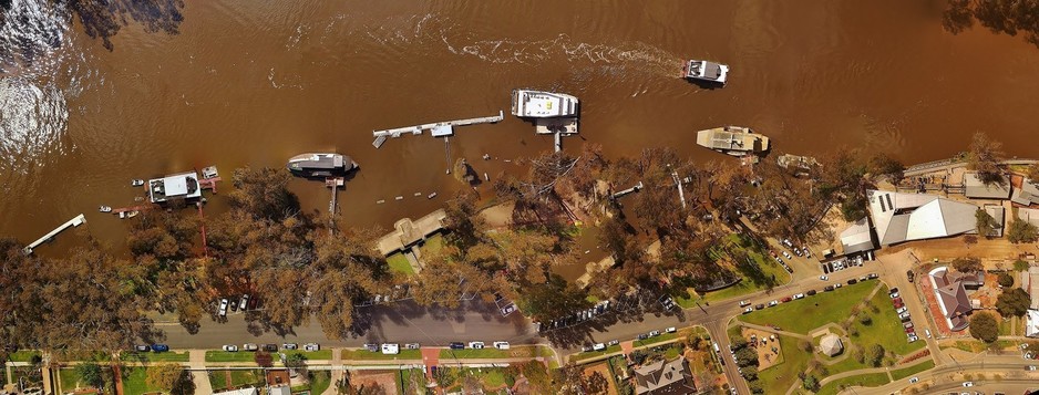
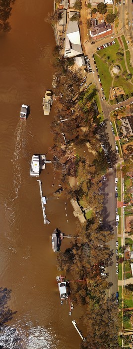
Aerial photography, 3D maps and models of Real Estate, quarries, mines, time lapse photography of civil construction and subdivisions projects, crop health surveys and mapping.Aerial Image Surveys, undertake all aspects of aerial photography and mapping. We collect the Data, process the information and build maps and models in 3D.. all in house. Your project data is secure and confidentiality assured.
Visit our web site for examples and further information.
www.aerialimagesurveys.com
We will come to you, based in Echuca ...read more
Contact details
Payment options
- Money Order
- Cash
- Cheque
- Direct Deposit
- PayPal
- EFT
ADD PHOTO


